Geo-Eye
Department of Geography & GIS

Department of Geography & GIS

Geo-Eye
Year: 2020, Volume: 9, Issue: 1, Pages: 21-25
Original Article
T Anuradha1, Zafir Ahamad2
1Assistant Professor, Department of Geography, Osmania University, 500007, Hyderbad, India
2Research Scholar, Department of Geography, Osmania University, 500007, Hyderabad, India
Received Date:22 January 2020, Accepted Date:18 April 2020
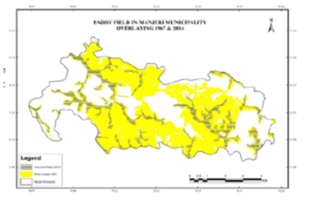
The land is one of the important natural resource next to water, for man to survive on earth. The land use / land cover studies help to understand about a natural vegetation cover over an earth surface and how and up to what extent man is utilizing a land cover for his economic benefit in an area. The present study deals with the land use / land cover change detection in Manjeri municipality, Malappuram district in Kerala. This not only study the existing land use / land cover pattern over the study area but also analyze the level of changes that happened within the span of 47 years. It also clarifies the causes for such changes and suggests remedial measures to overcome such problems. Hence this study will be very beneficial for the study related to natural resource management, regional planners and decision makers regarding sustainable development of Manjeri municipality in Malappuram district, Kerala.
Keywords: Land use; Land cover; Manjeri; GIS & Remote sensing
© 2020 Anuradha & Ahamad. This is an open-access article distributed under the terms of the Creative Commons Attribution License, which permits unrestricted use, distribution, and reproduction in any medium, provided the original author and source are credited.
Published By Bangalore University, Bengaluru, Karnataka
Subscribe now for latest articles and news.