Geo-Eye
Department of Geography & GIS
Department of Geography & GIS

Geo-Eye
Year: 2016, Volume: 5, Issue: 1, Pages: 20-25
Original Article
Dadugoudar R.C.,* Saviramath V.B.**
*Research Scholar, Dept. of Studies in Geography, Karnatak University Dharwad.
**Associate Professor and Research guide, Department of Geography, Karnatak Science College,
Dharwad.
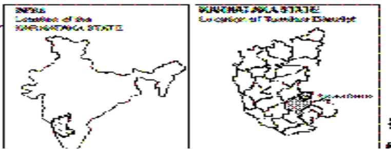
Abstract Slums and squatters are considered as problem areas for urban development in Developing countries. Slum may be defined as a “compact settlement with a collection of poorly built tenements, mostly of temporary nature, crowded together usually with inadequate sanitary and drinking water facilities in unhygienic conditions” (NSSO, 2003). The location of slums is one of the serious problems in urban planning. In Belagavi city slums are located in private land, government land, and municipal land. Slum dwellers have a tendency to live near their work place and so we can see most of them are located near Railway Station, Bus stand, Market yard, Industrial area etc. In the study region slums are named as “Kolageri”. They are more concentrated in Market, Industrial and Residential areas. Some other slums are dispersed all over the city. But the large slums are found near market area, New Gandhi Nagar slum which is in Ward number 50 having highest population about 8173 and lowest population is found in Kanakdas Nagar which is in Ward no 13 having population about 143. In Belagavi city, there are 58 municipal wards. Among these 51 slums are located in 30 wards and these are divided as notified and non-notified slums. There are 32 notified and 19 Nonnotified slums, population of both slums is 57214 and number of households in slums is 12082.Total population of the Belagavi city is 4,90045 and the percentage of the slum population is 11.67%. In the present study an attempt is made to know the Geographical locations of slums and their distribution.
Keywords: Slum, Squatters, Notified, Non-notified, locational Pattern.
Subscribe now for latest articles and news.