Geo-Eye
Department of Geography & GIS
Department of Geography & GIS
Geo-Eye
Year: 2016, Volume: 5, Issue: 1, Pages: 46-50
Original Article
Malini P.J.*, Manikiam M.B.**, Gouda K.C.***
*KSRSAC Bangalore,
**(Retd) senior scientist ISRO Bangalore,
***Senior scientist CSIR-CMMACS NAL Bangalore
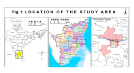
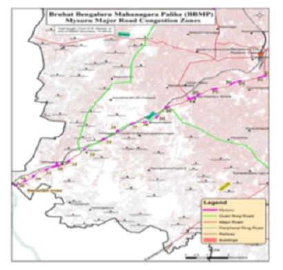
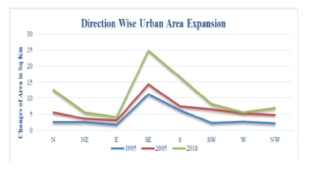
Karnataka is a state in south western region of India. Rapid population growth and anthropogenic activities on earth is changing the natural environment profoundly. Hence, an attempt has been made in this paper to determine and identify changes in Land use/Land cover over Karnataka their utilization by man in time and space. Hence, information on land use / land cover and possibilities for their optimal use is essential for the selection, planning and implementation of land use schemes to meet the increasing demands for basic human needs and welfare. This Information also assists in monitoring the dynamics of land use resulting out of changing demands of increasing population. Land use and land cover change has become a central component in current strategies for managing natural resources and monitoring environmental changes. In this study, Remote Sensing and Geographical Information System integration are used in order to analyze land cover of Karnataka city using Land sat 8 imagery. This paper discusses the land cover of study area using classification of image. Digital image pre processing and image processing techniques are used for classification of land cover analysis. After image pre-processing, supervised image classification has been performed to classify the image into different land categories using ARCGIS 10.3 and ERDAS IMAGINE.
Keywords: Land use, Land cover, GIS, Remote sensing, Landsat Imagery, Population
Subscribe now for latest articles and news.