Geo-Eye
Department of Geography & GIS

Department of Geography & GIS

Geo-Eye
Year: 2023, Volume: 12, Issue: 2, Pages: 1-8
Original Article
G Gangadhara1,*, S Arun Das2
1 Research Scholar, Department of Studies in Geography, University of Mysore, Mysore, Karnataka, India
2 Professor, Department of Studies in Geography, University of Mysore, Mysore, Karnataka, India
*Corresponding author email: [email protected]
Received Date:18 July 2023, Accepted Date:01 November 2023
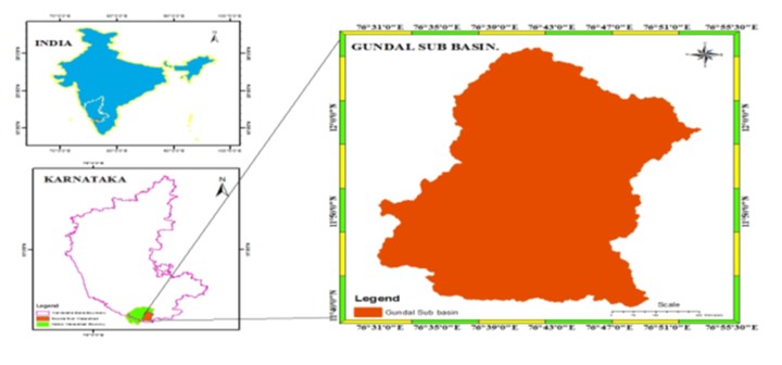
The scientific trend in geo informatics has brought tremendous impetus to the field of physical geography related aspects of the study. The Gundal sub basin which lies in the extreme south of the Mysore district of the Karnataka State India is in the crossroads of agriculture development. With the aid of the geo spatial tools and techniques, the Present research helps to find the influence of geo morphometric and climatic conditions on the overall planning in the Gundal basin. To formulate the geo spatial situation of the basin into a meaningful scientific oriented approach, linear, areal, and relief aspects of morphometric have been considered along with the Climatic conditions like temperature, precipitation, and Humidity factors. The geo-informatics tools such as Arc Hydrology, watershed delineation, IDW, SRTM data set and NASA climatic dataset have been used. Based on the derived results a micro basin has been studied to unveil the controlling factors posing strong impediments to the development.
Keywords
Climate, Morphometric, Arc Hydro tool, Watershed delineation, IDW
© 2023 Gangadhara & Das. This is an open-access article distributed under the terms of the Creative Commons Attribution License, which permits unrestricted use, distribution, and reproduction in any medium, provided the original author and source are credited.
Published By Bangalore University, Bengaluru, Karnataka
Subscribe now for latest articles and news.